


photo: Nanfang Plus
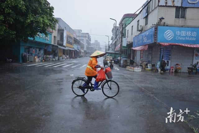
South China is bracing for heavy downpours as tropical storm Podul heads toward the region. Currently, the tropical storm in the northwest Pacific is gathering strength and is forecast to peak at strong typhoon intensity before making landfall on the east coast of Taiwan on Tuesday.
According to forecasters, the storm will then weaken slightly as it crosses the island and re-emerges over the Taiwan Strait before making a second landfall between southern Fujian and eastern Guangdong late Wednesday night or early Thursday morning. Winds of up to 11 on the Beaufort scale are expected near the coast.
While much of Guangdong will remain hot and humid in the coming days, conditions will shift sharply from Wednesday night. The eastern, northern, and Pearl River Delta regions are set to experience heavy rain, with some areas facing torrential downpours. Rainfall is likely to ease high temperatures, dropping daytime highs to around 28–31°C by Thursday.
Guangzhou is forecast to stay mostly sunny with scattered thunderstorms until Wednesday, when cloud cover thickens and rain intensifies. The heaviest rainfall is expected overnight into Thursday.
3-day weather forecast
Aug 12: Mostly cloudy across the province with scattered showers or thunderstorms; highs of 34–36°C inland, 31–33°C in southern coastal areas.
Aug 13: Cloudy in most areas; heavy rain to torrential rain in eastern Guangdong and Meizhou, with showers elsewhere. Highs of 33–35°C inland, 31–33°C in the south.
Aug 14: Heavy rain to torrential rain in eastern and northern Guangdong and most of the Pearl River Delta; moderate to heavy rain elsewhere. Highs drop to 28–31°C.
Guangzhou:
Aug 12: Partly sunny with thunderstorms, 26–35°C
Aug 13: Partly sunny with thunderstorms, 26–35°C
Aug 14: Overcast with thunderstorms, 24–29°C
Reporter: Zeng Xiangxing
Editor: Hu Nan, James, Shen He