


A strong cold front is forecast to sweep across Guangdong starting Monday evening, January 20, bringing a sharp drop in temperatures and the possibility of sleet or freezing rain in the province's northern mountainous areas.
Following unseasonably warm conditions over the weekend, the cold air mass, an extension of the year's first major cold wave affecting central and eastern China, is expected to reach Guangdong on the morning of January 20. It will move southward, impacting central areas by the evening and coastal regions overnight.
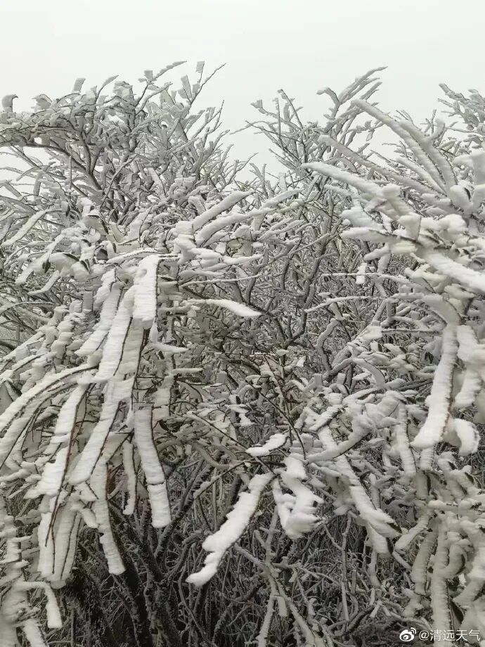
According to the Guangdong Meteorological Observatory, the lowest temperatures during this period are expected around January 22. Northern Guangdong will experience widespread lows below 5°C, with high-elevation areas in the northern mountains potentially dropping to between -4°C and 0°C, creating conditions for sleet or freezing rain (ice).
In Guangzhou, temperatures will peak during the day on January 20 before the cold air arrives. The coldest day is predicted to be January 22, with a high of 16°C and a low of only 7°C. Increased northerly winds and noticeably cooler conditions are expected from the evening of January 20 onward.
Guangdong forecast overview:
January 18–19: Mostly clear to cloudy across the province, with morning light fog in many areas and patches of dense fog in the west.
January 20: Overcast with isolated drizzles in Shaoguan and Qingyuan; mostly cloudy elsewhere with local drizzle. Widespread light fog is expected in the morning.
January 21–22: Cloudy with scattered drizzle in Shaoguan and Qingyuan, where sleet or freezing rain is possible in high-altitude zones. Other areas will be mostly cloudy with isolated light rain.
Residents and travelers are advised to stay updated with the latest weather warnings, prepare for significant temperature changes, and take precautions against cold conditions, especially in northern Guangdong.
Guangzhou forecast:

Author | Jiang Chang
Photo | Qingyuan Weather
Editor | Wei Shen, James Campion, Shen He